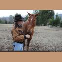
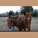
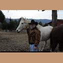
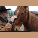
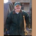
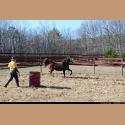
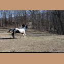
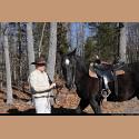
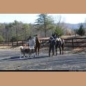
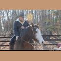
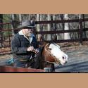
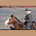
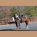
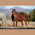
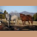
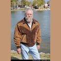
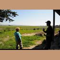
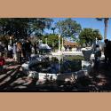
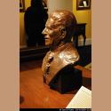
| Last year, after Christmas we visited Bob, Terry and Chuck's farm in Fort Valley. Frank and Chuck went riding, while Terry and Tom looked on. Frank is riding a beautiful horse with an all white face. Terry is shown here in pain with a crutch. Fortunately, a month later he had a hip replacement operation and is doing fine now. |

|
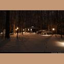
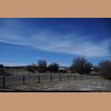
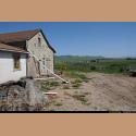
We had planned on closing up the house at the end of January, taking the truck and trailer and heading south. But Mother Nature gave us a surprise...called snow. These photos are of our house and yard and our next door neighbor's home. We waited a few days for the snow to melt, but it was still cold when the sun came out and the melted snow turned to ice. We decided to leave anyway, which was foolish, because while carrying food from the house to the trailer, Tom slipped on the ice and broke two ribs. Ouch! See our entire spring trip on Google Earth |

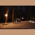
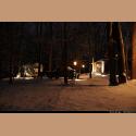
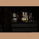
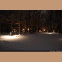
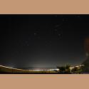
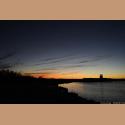
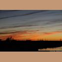
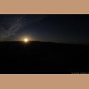
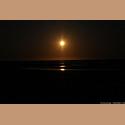
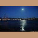
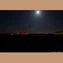
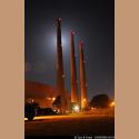
| The camera didn't get pulled out again until we reached a New Mexico State campground called Bottomless Lakes. The campground is near the town of Roswell, New Mexico which is famed for their "suspected sightings and invasion" of flying saucers. They even have a museum in Roswell dedicated to extra terrestrial events. The last 3 photos are night shots of spots around the park. |
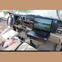
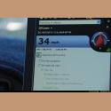
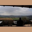
| In the passenger side of our Ford F-250, Frank installed a support stand which holds a notebook computer. This computer has been very helpful as we drive because it provides navigational maps and a connection to the internet. We often look up data on the places we drive through. It is sort of a travelogue filled with interesting data. |
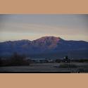
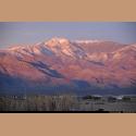
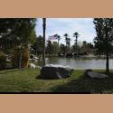
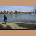
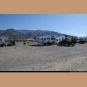
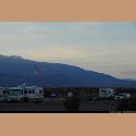
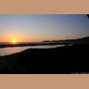
| After visiting Las Vegas for IGRA University, we headed west toward California. But before we left the State of Nevada, we camped at a wonderful campground near Pahrump, Nevada with its own man-made lake. Snow can be seen on the nearby mountains. |
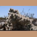
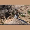
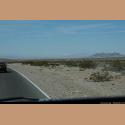
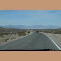
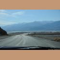
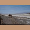
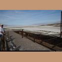
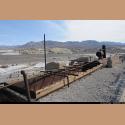
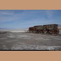
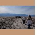
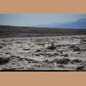
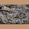
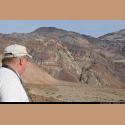
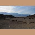
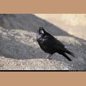
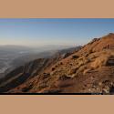
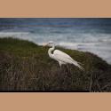
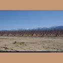
| Leaving Nevada behind, we entered Death Valley. We had camped in Death Valley twenty years ago, and it still looks the same. The best time to visit Death Valley is in winter months. Temperatures in the summer can hit as high as 120 degrees or more. Please note the photo which shows the computer screen's display of the elevation of minus 158.79 feet. Parts of Death Valley are below sea level, but it is ringed with mountains. Some of the photos show old Borax mining and processing. This is where the twenty mule team Borax started, as it took twenty mules to pull the product out of the desert and over the mountains to the nearest town. There are many types of birds here in the desert, but the Raven seems the friendliest, because people given them food and they learn fast. |
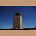
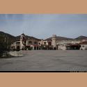
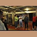
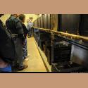
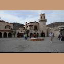
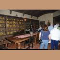
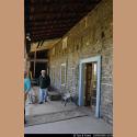
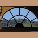
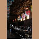
| At the northern end of Death Valley stands Scotty's Castle build by a wealthy newspaper publisher in the early 1900's. We toured the basement infrastructure, and some of their electrical sources, piping and air conditioning in the middle of the desert were ingenious. |

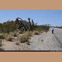
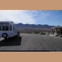
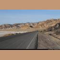
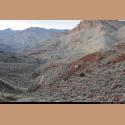
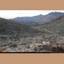
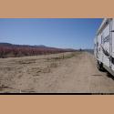
| Frank wanted to take the truck on some of the back roads of Death Valley, so we selected one rugged dirt road which was 26 miles long. Wow, the road went up one side of the mountains and then down the other side, with some drop offs of hundreds of feet down only a few feet from the roadbed, all without railings, but what wonderful scenery. |
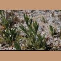
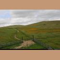
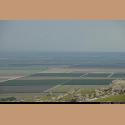
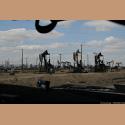
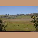
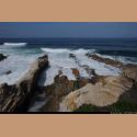
| After Death Valley, we continued west, over California's coastal mountains. Much of the hillsides were covered with gorgeous yellow wild flowers. Further along we started seeing the valley's large crops of vegetables. They have very large farms here. Then we came upon a vast oil field near Bakersfield California, with oil rigs back to back in every direction we looked. |

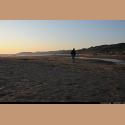
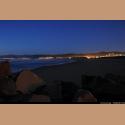
| We continued west until we came to the Pacific Ocean. We stayed in a campground right on Pismo Beach, California. A very nice place and only about two hundred feet from the ocean. |
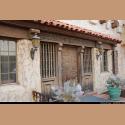
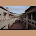
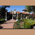
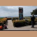
| In our basement back in Clifton is an Internet radio station which Frank has setup. This station plays cowboy music 24/7. One of the songs sung by Dave Stamey is called the Vacquero Song. The photos here are of a house belonging to Captain Dana who is mentioned in the song. Here sits the remains, now being restored, of the Dana Adobe in Nipomo, California. It is no coincidence that this is also the town where Dave Stamey, the singer, lives. Check out the Vacquero Song on our website. |
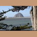
| One evening Frank wanted to try some more night photography in Morro Bay, California. This is a nice sea coast town with great restaurants. Twenty years earlier we were here when the Monarch butterflies came to roost. |
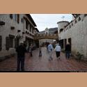
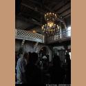
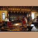
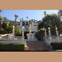
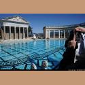
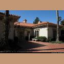
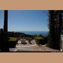
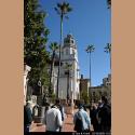
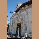
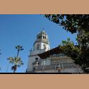
| The last few times we have been in California we always spoke of visiting the Hearst Castle in San Simeon. But we never made it there until this trip. Wow, what a mansion, built on a cliff several miles from the Pacific Ocean. William Randolph Hearst was a newspaper mogul and while he put millions into the construction of his castle, we need to remember this was his dream and hobby. He even had his own airstrip and a live zoo filled with exotic animals. The swimming pools here, inside and out, were terrific. |


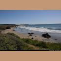
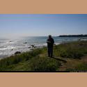
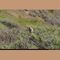
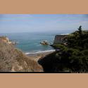
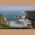
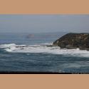
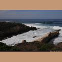
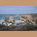
| South of Morro Bay, we took a guided tour of the sea coast. The tour was advertised as a two hour tour. It actually took four hours because the 4 people on the tour asked so many questions. We saw sea otters, beautiful scenery as well as a rattle snake. |
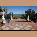
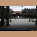
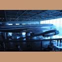
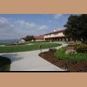
| While in California, we visited the burial site of President Ronald Reagan and the Reagan Presidential Library. It is located in Simi Valley, California and actually takes the entire top of a small mountain about ten miles from the ocean. Again a very beautiful site. They even moved one of the older Air Force One planes, and placed it inside one of their displays. It is an amazing place to visit and you should go there if you have the chance. |


| One day we stopped for lunch beside the road. It is nice to see miles and miles of well kept orchards, with snow covered mountains in the background. |
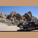
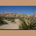
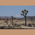
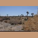
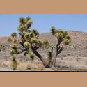
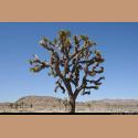
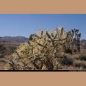
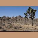
| We toured Joshua Tree National Park east of San Diego, California. The Joshua tress look like cacti, but actually they are part of the Lilly Family. The Mormons named the trees after the prophet Joshua because the trees limbs are uplifting, and the Mormons thought it resembled Joshua's arms uplifted toward Heaven. |