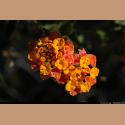
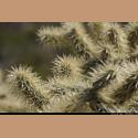
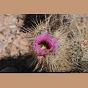
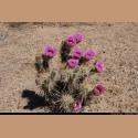
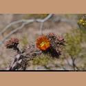
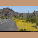
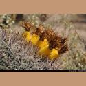
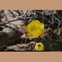
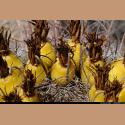
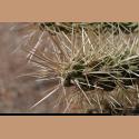
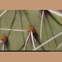
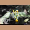
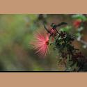
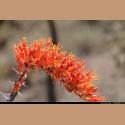
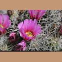
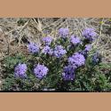
| We stayed in a top notch campground in Indio, California. While here we bought new tires for the trailer and Frank took some photos of the flowers. Camped behind us were a couple who graduated from the University of Akron the same year Tom did in 1964. They also were related to some of Tom's classmates in high school. An amazing coincidence. |


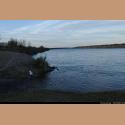
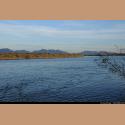
| We started moving east and camped on the Colorado River near Blythe, California. The river was moving quite fast while we were here. |
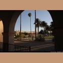
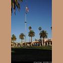
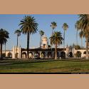
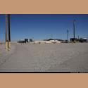
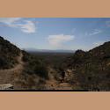
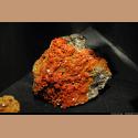
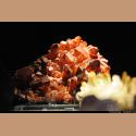
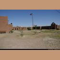
| Continuing east we stopped in Ajo, Arizona. These photos are of the older part of Ajo which has been restored to their original state as the Ajo Plaza. This was their central business area and a railway stop. |
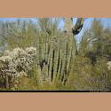
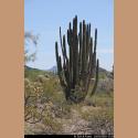
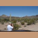
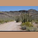
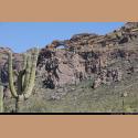
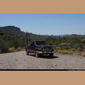
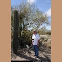
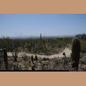
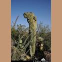
| From Ajo we turned south to the border of Mexico. We toured again the Organ Pipe National Monument. Areas of this park were closed to public access, because some areas are subject to illegal immigrant crossing and very active interdiction by the US Border Patrols. A bit further east, we actually saw some illegals being appended. |
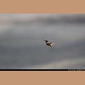
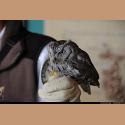
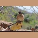
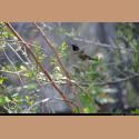
| Next stop was at Davis-Monthan Air Force Base, in Tucson, Arizona. Frank captured some of the photos of humming birds at a feeder on a nearby camper's rig. |
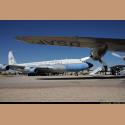
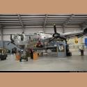
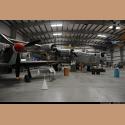
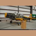
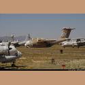
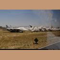
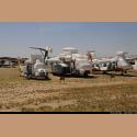
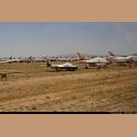
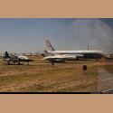
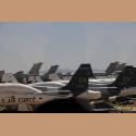
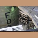
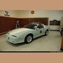
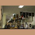
| We took a guided tour of what is referred as the "Bone yard". It is hundreds of acres of mothballed aircraft which the US Government no longer needs. Some of the planes are eventually sold to third world countries, while others are used for spare parts. This is the only US military base that actually shows a profit each year. |
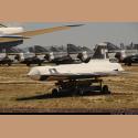
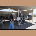
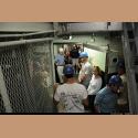
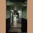
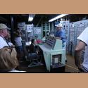
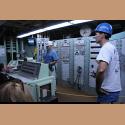
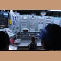
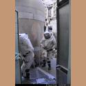
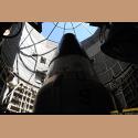
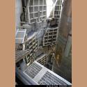
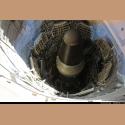
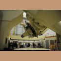
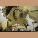
| As part of the SALT Talks on nuclear disarmament, between the US and the Soviets, the US was to dismantle all of its Titan II Missile sites. But one Air Force officer wanted to keep one site, remove the nuclear materials and toxic fuels that could fly the Titan missile with it multiple nuclear weapons to Moscow in under thirty minutes, and turn the site into a museum. The US asked permission from the Soviets to make one site a museum and they agreed. So we toured the only Titan II missle site still intact near Green Valley, Arizona which is just south of Tucson. |
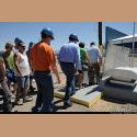
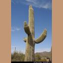
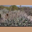
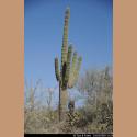
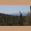
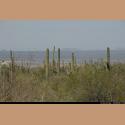
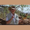
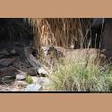
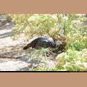
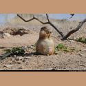
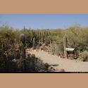
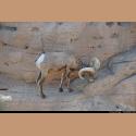
| In the southern suburbs of Tucson is a county park called the Sonoran Desert Museum. We spent five hours there walking our legs off, and we could have stayed there for days. A beautifully landscaped and well laid out facility. It also has a first class restaurant. Their docents gave great informative presentations. An excellent find. |
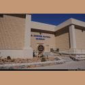
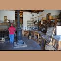
| Further east we camped at Fort Bliss in El Paso, Texas. Tom has always said western Texas would be beautiful, if only it stayed on the ground. We had one dust storm here with winds over 60 MPH and it pushed the trailer about a foot across the concrete pad, bending one of the front legs. Near Fort Bliss we toured the US Border Patrol Museum. It was interesting, but seemed a little run down. |
| On Fort Bliss proper is a replica of the original historic Fort Bliss. Interesting, but rather small. |
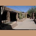
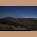
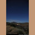
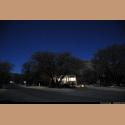
| From Fort Bliss we moved further east toward Big Bend, and stopped en route at a Texas State Campground where we have stayed many times. It is called Fort Davis State Park. The park has lots of animals, many nocturnal, so one can hear them moving around at night but they don't bother anything. The campground is quiet, far from any major town with all of its night lights, so night photography is possible here and fun to do. The campground also has an excellent restaurant which served great Mexican food. |
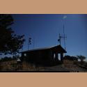
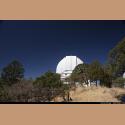
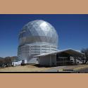
| Near the campground, on top of a nearby mountain is the McDonald Observatory. They have dormitories for visiting astronomers who schedule usage of the observatory and come from all over the globe to use the telescopes here. |
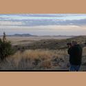
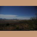
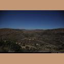
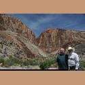
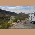
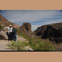
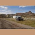
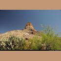
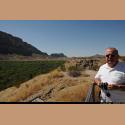
| Continuing toward Big Bend, we traveled along the Rio Grand river and the border of Mexico. The mountains behind Frank and Tom is actually part of Mexico. The campground we stayed at had been upgraded and they had tried to make it a destination dude town, but three owners later, they still haven't made a profit. The camp sites were nice, but hardly no one there. The campground is in Lajitas, Texas, on the Mexican border. One evening Frank took a horse ride and enjoyed the border scenery. |
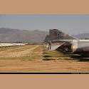
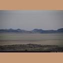
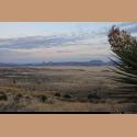
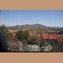
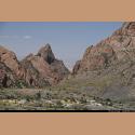
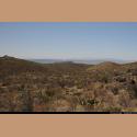
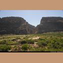
| While at Big Bend National Park we saw the view in the first photo which is called The Window", which is a pass in the Chisos Mountains. The fifth photo is the site of Santa Elena Canyon where the Rio Grande had cut through sheer mountains as it flows east. The majestic Santa Elena Canyon is very impressive in Big Bend National Park - it is visible for over 10 miles away, as the Rio Grande river changes direction abruptly after following beneath the straight Sierra Ponce cliffs for several miles and then heads due west, cutting through the mountains via a deep, narrow gorge. This sharp bend in the river was formed by movement along the Terlingua fault zone that crosses the park. For many miles upstream the river is trapped beneath the high walls, eventually emerging into a wider valley at the small town of Lajitas. |
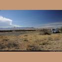
| We again stayed at Monahans Sandhills State Park in western Texas. People actually come to this park to slide down sand dunes on Sand toboggans and round disks, similar to what is used on snow. |
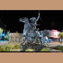
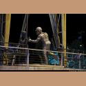
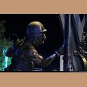
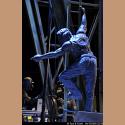
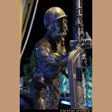
| We camped in Artesia, New Mexico. This is a very small town, but they did have some interesting bronze statues depicting the life of the cowboys and the oil field roughnecks. |
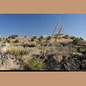
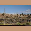
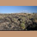
| Moving on, we returned to Valley of Fires campground that was originally a New Mexico State Campground, now converted to a campground operated by the Bureau of Land Management. This is the site of an ancient lava flow with a number of hiking and nature trails with signs explaining the lava flows, plants and wildlife that inhabit the area. The campground is also close to Trinity site where the world's first atomic explosion was detonated. |
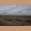
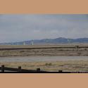
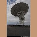
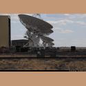
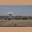
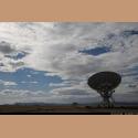
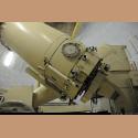
| Here is the VLA, (Very Large Array)the largest radio telescope in the world. It is made up of multiple antenna receivers. It is totally amazing the things this VLA has discovered, and they are presently upgrading its software to be even more capable in the future. |